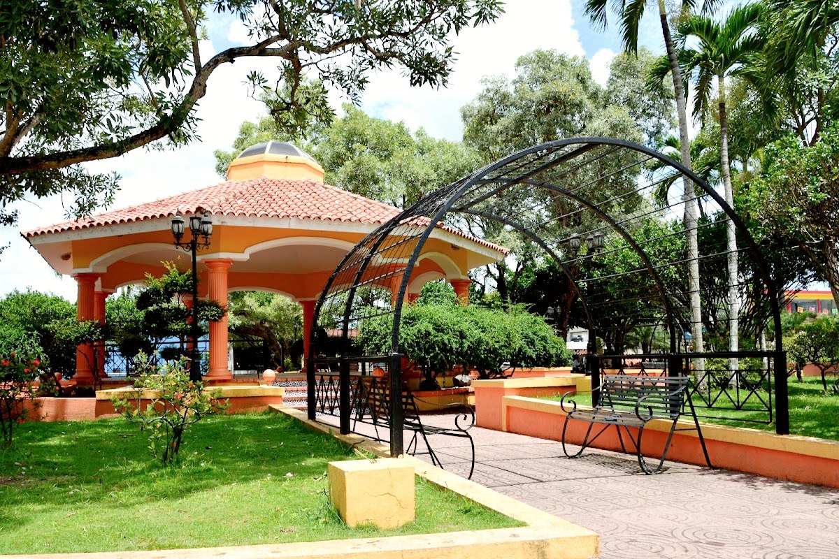
Monte Plata province was created on August 20th, 1982, entering in use on January 1st, 1983. It takes the name of its provincial capital, with a surface of 2.632,14 km ². Sanchez Ramirez, Duarte and Samaná Provinces are located at the north of Monte Plata Province, Hato Mayor and San Pedro de Macorís is at the East, Santo Domingo province is at the South of the province, San Cristóbal and Monseñor Nouel Provinces are at the West. This province is part of Region IX - Higuamo, with a population of 180.376 people: 93.134 are men and 87.242 are women.
The municipalities are:
- Monte Plata, principal municipality.
- Bayaguana
- Sabana Grande de Boyá,
- Peralvillo
- Yamasá.
The municipal districts:
- Boyá
- Chirino
- Don Juan
- Gonzalo
- Majagual
- Los Botados.
Yamasá Mountain range is at the western part of the province. The Haitises, with their numerous small hills, are at the northeast of the province.
The main rivers of the province are the Ozama and the Yabacao. Other rivers are Comate, Yamasá, Mijo, Sabita and Guanuma.
The main activity of the province is farming. The main cultures are sugar cane, cacao, citruses and other fruit trees. In relation to cattle ranch, the bovine is important for the production
It is a province with very little tourist development; only some rivers, like Comate, are visited by residents and other people from neighboring provinces. Bayaguana is an important place for peregrinations. (Santo Cristo de Bayaguana).
More information: Car rental locations in the Dominican Republic · Car rental guide · Book a car.
Photo: CristoRey99 / Wikimedia Commons, CC BY-SA 4.0.